 | Scientific job and researching in Institute of Marine Geology of Russian Academy of Sciences Far East Branch |
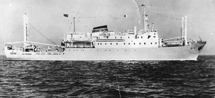
PEGASUS |
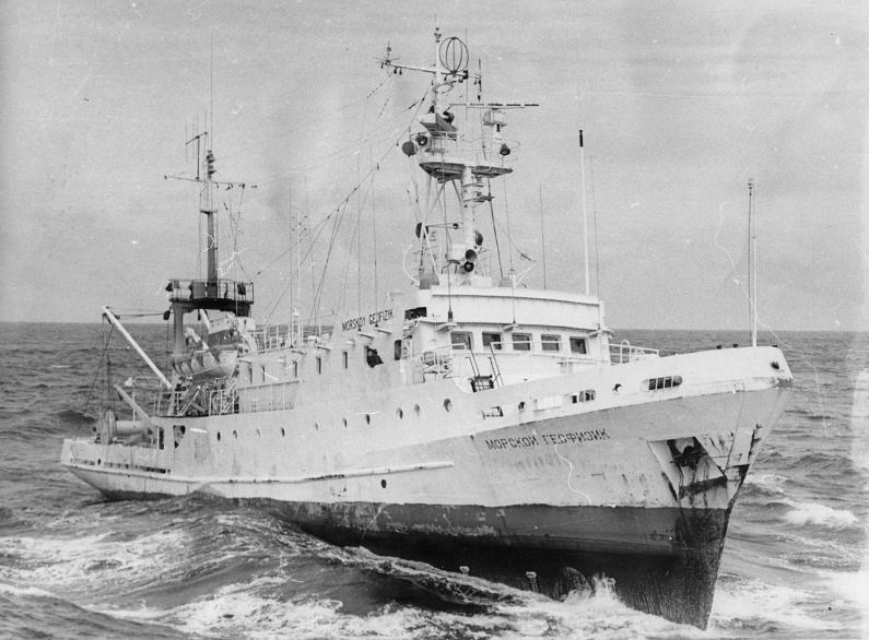
MARINE GEOPHYSIC |
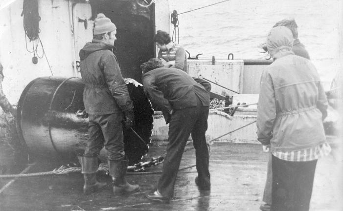
Dredging. From left to right: Marakhanov V., Vasiliev B.and Rostovskaya M. |
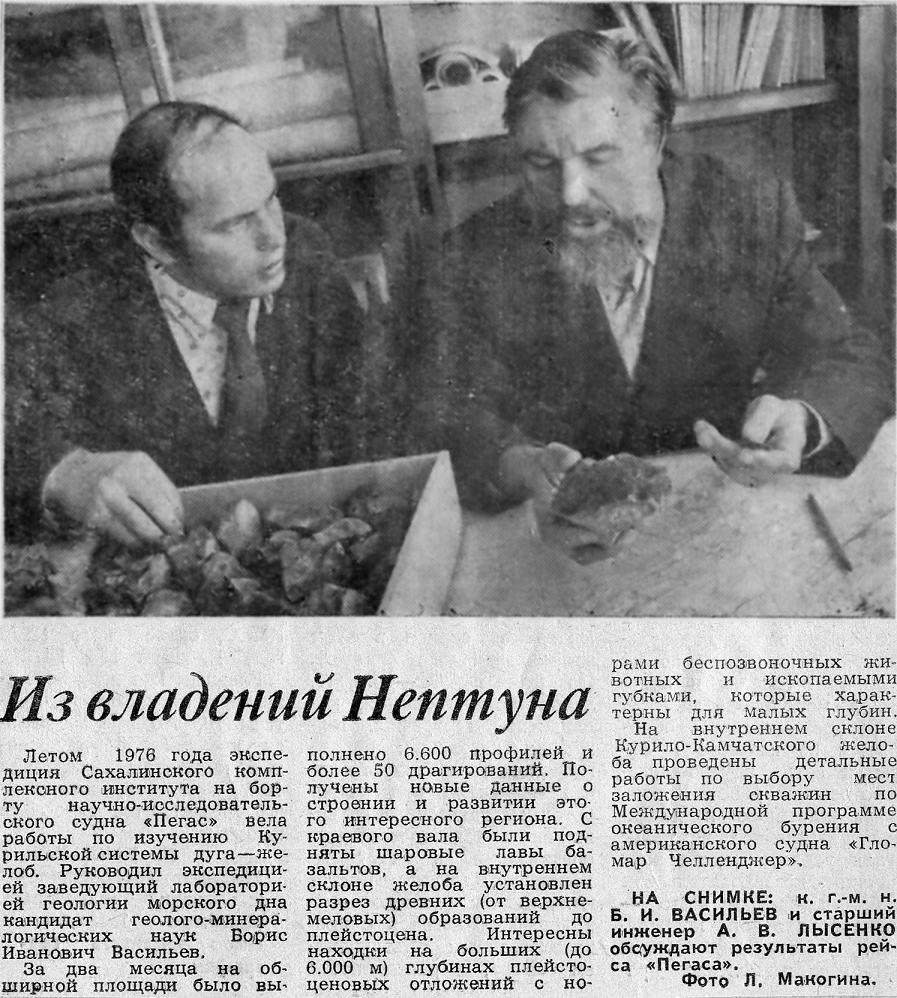
The article about Kuril-Kamchatka expedition.From left to right: Lisenko A. and Vasil''ev B.I -http://portfiliorostovskaya.narod.ru/vasilievphotoalbum.html |
|
Scientific job and researching in Institute of Marine Geology of Russian Academy of Sciences Far East Branch.
Main area of researching - the ocean-continent transition in the Northeast Pacific. It contained measuring the gravity and magnetic fields and mapping in a details, interpreting seismic reflection profiling of the arc-trench system and mid Pacific mountains in a region about 600 km which is seaward of the Kuril arc including Kuril Basin, Kuril-Kamchatka farearc and trench and Pacific floor structures.
Geophysical fields
The magnetic field studies of Kuril Island areas shows a field variation from -350 to +400 nT. The volcanic arc corresponds to a narrow zone of isolated positive and negative magnetic anomalies.
Positive farearc anomalies have the northeastern strike, concordant to the arc.
There is a geophysical anomaly in a Bussol’ Strait zone between northern and southern Kuriles. It is a place of an island arc bend, but the main difference occurs from a movement of the Pacific plate – the direction of a plate movement changes from perpendicular to a trench in the north part to angular (50-45 degree) in the South, so, there is a change in a tension from compression to extension, but this place is a blank page until now. The Bussol’ Strait gives a deep depression in a gravitational and magnetic anomaly and has a thinner crust.
Gravimetric methods.
Local variations of gravity, relative gravity, correction of recorded data for several sources of error (elevation, nearby topographic features, latitude and etc.) and plotting of gravity values can give gravity values for interpretation of the subsurface geology and isostasy.
In subduction zone, there is free-air-gravity anomalies in 60-km zone parallel to the trench centered near the trench and the Kuril arc and indicate large deviation (+200 mg) from isostasy because crustal subduction under arc islands.
Seismic Profiling
Continuous seismic-reflection profiling detects the major boundaries under the sea floor and is used in stratigraphic and structural studies for geologic cross section. I was involved in projects for interpretation a trench axis, trench inner slope with highly irregular surface, accretional basins, shelf terraces, continental slope, slope instability, large-scale slumping (with blocks hundred meters thick), downslope sediment movement, slump and screen deposits, acoustic basement and faults.
Vasil''ev B.I (Васильев Борис Иванович)
Gnibidenko Gelios Sergeevich
The Institute of Marine Geology and Geophysics
Institute of Marine Geology and Geophysics FEB RAS, Yuzhno-Sakhalinsk